
Looking Up Meriden Neighbors Around an Address
A block lookup is a set of focused questions about Meriden neighbors. The GIS viewer identifies adjoining parcels. The assessor layer supplies owner and billing fields. Deeds add a recorded transfer trail. A voter record may show ordinary election fields, while a neighborhood council page shows the public geography of a group. Historical directories can add past occupants. These sources overlap, but none is a master list of everyone who lives near an address.
| Source | What It Shows About a Block | Access |
|---|---|---|
| GIS Property Viewer | Adjoining parcels, owner/CAMA clues, building imagery, and map layers | Public map click, measure, and neighboring-property tools |
| Legacy assessor street search | Visible property rows with owner, mailing address, city, state, and ZIP | Public web; leave Number blank for a street-wide result |
| ArcGIS parcel layer | Parcel geometry, IDs, owner and billing fields, sale data, and building fields | Filtered query or selected export; 2,000-record ceiling |
| City Clerk deed index | Transfers, parties, book-page references, and legal parcel chain | Index and copy routes, with image and authentication limits |
| Voter list | Ordinary name, address, district, and party context | Election-record access with privacy and use restrictions |
| Planning notices | Nearby applications, projects, hearings, and decisions | Current public notices; detailed permits may need a request |
| Council of Neighborhoods | Group names, area clues, meetings, and newsletters | Public page and notices; no member rolls |
| Library directories | Historical listed occupants and businesses by address | Appointment, microfilm, or digitized volume; occupant is not owner |
The table separates owners from occupants on purpose. A parcel popup can identify a recorded owner, but it does not prove who is present, who shares the building, or who belongs to a civic group. A block-level answer becomes stronger when dates, parcel IDs, and source roles agree.
Click Meriden's Adjoining Parcels
Open the Meriden Property Viewer with a full or partial address, a street, or a condo name. Click the result to highlight the target polygon. Keep the map at a scale where parcel lines and labels remain clear, then click each adjoining polygon. Adjacency is spatial, not a prepared neighbor list: a lot may meet at a corner, share a rear line, sit across an alley, or be separated by a road.
Parcel flow: address search → highlighted parcel → adjoining polygons → owner and CAMA popup → selected buffer → filtered table or export.
- Search the target address and open its Property, Images, and Building Info popup tabs. Save the parcel ID, card, owner fields, billing fields, and map date.
- Pan across the block face, rear lot line, corner, or shared drive. Click each parcel that answers the geographic question, rather than treating every visible property as adjacent.
- Use measure for orientation. GIS change notes describe a Buffer tool that can select records, show them in a table, export selected records to Excel, and inspect a parcel behind the selected set.
- Compare the owner and mailing fields with a recorded deed when title matters. A block snapshot should not become a claim about household membership.
For the full named-street chain, continue with the Meriden street directory by address. The block method stays close to the target parcel and its immediate surroundings, which is the useful scale when neighbors are the question.
Meriden Buffer and Select Tools
The GIS change notes describe a useful way to keep a block question bounded. Select the starting parcel, build a buffer, review the selected-record table, and export only the chosen set when a spreadsheet is needed. The current toolbar label may differ, so verify the live control before relying on a precise click sequence.
The public ArcGIS layer supports geometry, query, statistics, pagination, and machine-readable parcel fields. Its documented selection ceiling is 2,000 records. A filtered parcel or buffer is therefore more defensible than a city-wide export, both for accuracy and for privacy. A popup can provide recorded-owner or CAMA clues, but it does not provide a phone number, household list, voter status, or association membership.
Note: A buffer describes spatial reach; it does not define a Meriden neighborhood or prove that every selected parcel touches the starting lot.
What the Meriden Voter List Shows Nearby
Connecticut's ordinary registry list can contain a voter's name, residence address, voting district, and party affiliation. The Meriden street and polling route is useful for district context, while the state “Am I registered?” link is the official lookup path. Exact live field labels and the result layout were not exposed in the inspected state capture. Election participation can appear in the centralized record, but ballot choices do not.
The full state voter file is a $300 CSV request with requester, payment, mailing, delivery, and statutory-use certification fields. Its stated purposes are election-related, scholarly, journalistic, political, or governmental. The file rules prohibit marketing, solicitation, harassment, and private or commercial use. Month and day of birth are not public in the released file, and current guidance describes year-only data.
Use the Connecticut voter information route or contact the Meriden registrars for a lawful registration question. The Voter Registry Privacy Program and Address Confidentiality Program can suppress or substitute a qualifying actual address. A protected or missing address is not evidence that the neighbors list is complete or that the person has no connection to the block.
Meriden's Council of Neighborhoods
The City of Meriden identifies the Council of Neighborhoods as the parent organization for nearly 30 resident and business groups. Its page and the March 2026 Council newsletter provide current names, area clues, meeting routes, and civic context. They do not publish a list of members or a household-by-household directory.
The Meriden neighborhood associations page is the source represented below. It is best used to identify a public group or meeting lead after the parcel map supplies the physical location.
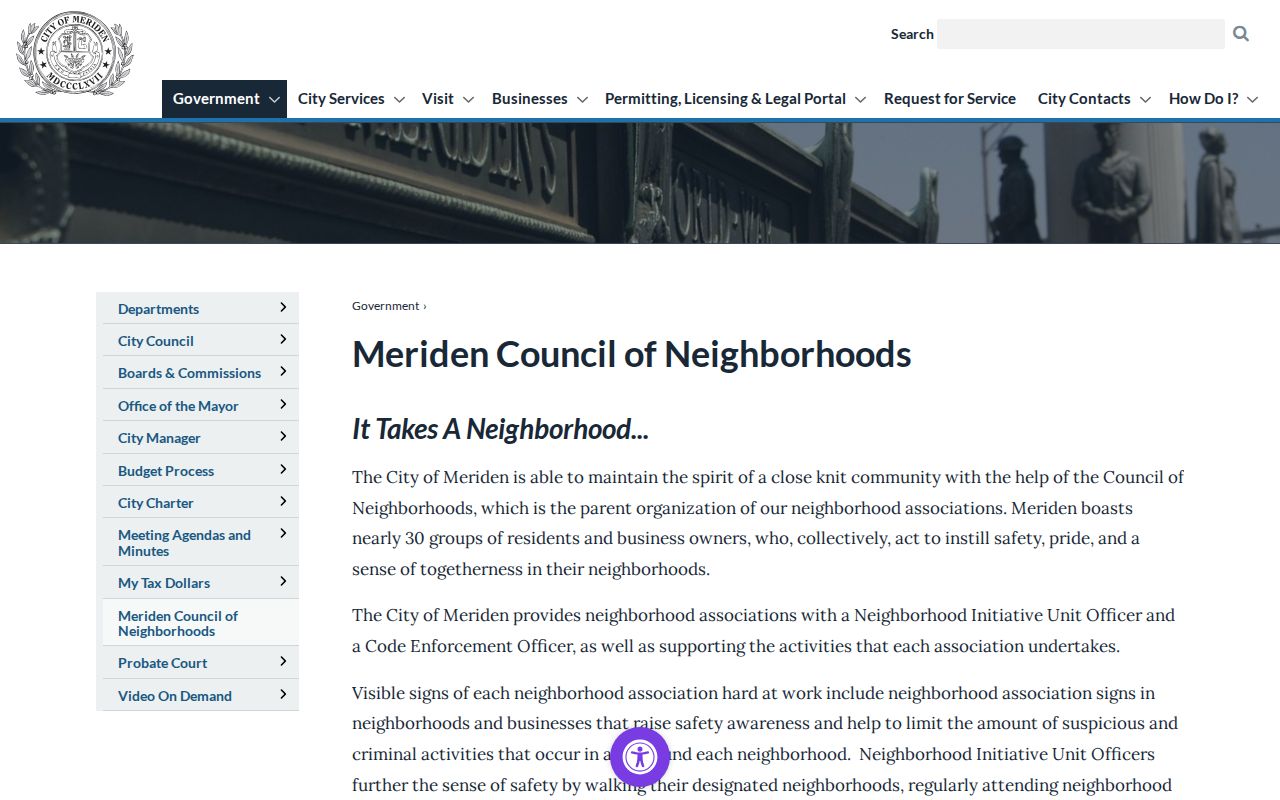
The names below are civic geography, not legal parcel boundaries. Current activity should be confirmed with the live city page or the group before a group name is treated as a current contact route.
| Groups named in city sources | Area clues or streets listed | Public access |
|---|---|---|
| Lewis Ave; Lincoln Area | Lewis, Springdale, Lincoln, Goodwill; South Vine, Coe, Centennial | Council meeting and newsletter route |
| North Meriden; Glen Hills; Stagecoach Riders; Upper North Meriden; Wilcox Ave | North Colony, Britannia, Sherman, Hicks; named area or avenue clues | Current group names; exact boundaries not exposed |
| Lower East Side Watch Dogs; Washington Park | Liberty, Twiss, Miller, Benjamin; Liberty, Wall, Pearl, Washington Park | Community schedule and neighborhood page |
| Crown Village; Downtown; Dutch Hill; ECHO; Action 13 | Condo area; West Main, Hanover, Colony; Elm, Oak, Olive, Crown; Cook, Bronson, Hanover, Columbus | Public group or area lead; no member roll |
| Westsiders; Westfort Highlands | Hanover, Linsley, Bradley, West Main; Westfort Drive area | Newsletter or Council route |
| South Meriden / Diamond Hill; Poets Hill; Greater South Meriden | Main, Cutlery, Evansville, Dana, Somer, Byron; named South Meriden areas | South Meriden grouping; exact parcel lines not exposed |
| City Park; Hillside Gardens; Veteran's; Silver Lake | Bunker, Center, Franklin, Sherman; complex, Paddock, Fairway, Millbrook; Silver Lake, Old Colony, Empire | Schedule, newsletter, or area contact |
A sign, newsletter mention, or meeting address can identify a civic route. It cannot be used to infer that every nearby parcel belongs to the group or that a person is a member.
Planning and Patrol Maps Around Meriden Blocks
Planning notices add a public project layer to a block lookup. Current rows can include an applicant, street address, project description, zoning district, hearing or decision, and approval status. Planning, Building, and Engineering applications route through Meriden OpenGov, but static permit fields and sample result rows were not exposed. Use the Meriden planning notice archive for current address-keyed notices and ask the department or use a Connecticut Freedom of Information request for older or detailed records.
The planning notice source shows the kind of address event that can sit beside a parcel record.
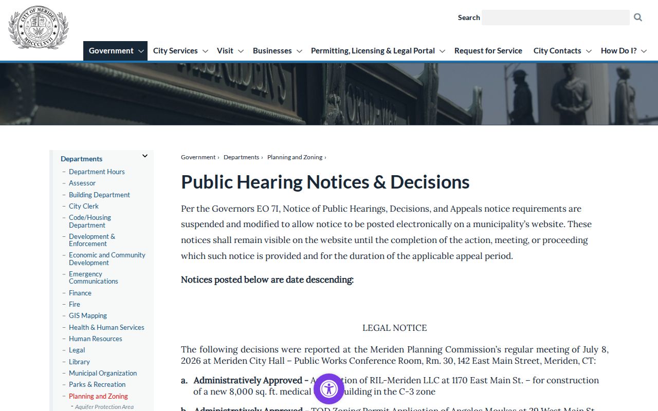
A notice identifies an application or decision, not a household. It can explain why a parcel has a public filing without proving who owns or occupies it.
Police patrol geography is separate. Meriden Police describes eight primary patrol sectors, which are broad public-safety areas rather than neighborhood-association or parcel boundaries.
The Meriden Police patrol-sector page provides the public-safety map context shown below.
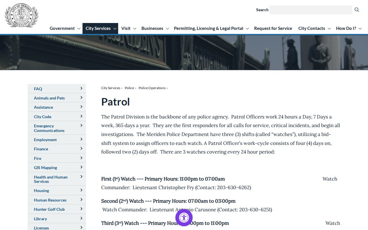
Do not use a patrol sector to draw a block or neighborhood boundary. It answers a dispatch and coverage question, not a resident question.
Meriden Civic Directories Are Not Member Rolls
Public city staff and department pages can help route a records question to the right office. They are not neighborhood rosters and should not be used to infer who lives near a parcel. The Meriden staff directory organizes public contacts by department.
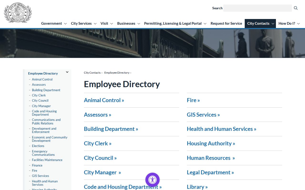
The directory is useful for finding an office contact, while a parcel lookup remains the source for property and map questions.
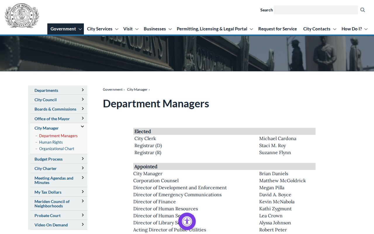
For named municipal roles, the Meriden department managers directory supplies another official routing point.
Library and Historical Society collections can add older civic, school, military, and neighborhood history through an appointment or research request, but a public membership list was not located.
Meriden Neighbor Sources Versus Commercial Tools
Official records and commercial neighbor tools answer different questions. Category-level comparison helps prevent a merged report from being treated like a custodian record. The official source has a named keeper and a stated access rule. A commercial product may combine many feeds, infer relationships, and charge for a report without showing which source supports each line.
| Category | What it can contribute | What it cannot establish |
|---|---|---|
| Official GIS and assessor records | Parcel geometry, recorded owner, CAMA fields, billing address, sale and building clues | Every occupant, household member, current phone, or association membership |
| Official voter and civic sources | Election context, district, party field, group names, meeting geography, and public contacts | Ballot choice, protected address, private member roll, or a complete block roster |
| Commercial neighbor tools | Possible associations assembled from property, public-record, marketing, and other data | A certified deed, current occupancy, lawful identity match, or proof that two people are neighbors |
When a commercial result conflicts with an official record, return to the parcel, date, document, or registrar that generated the official field. Do not repeat an inferred relationship as a fact.
Privacy Limits on Meriden Neighbors
A block search cannot reveal all household members, visitors, caregivers, utility customers, delivery records, or private association members. Connecticut's voter privacy program and Address Confidentiality Program can hide qualifying actual addresses. DMV information, sealed or juvenile records, protected court material, and redacted police files remain outside an ordinary neighbor lookup.
Use a public record for a clear, lawful purpose such as understanding a parcel, finding a civic meeting route, reconnecting through an appropriate public source, or researching local history. If the question reaches a private address or protected person, stop and use the custodian's stated process. A missing result can reflect a limit or protection rather than a negative finding in a Meriden neighbors search.
Privacy and lawful use. Meriden neighbors research should stay narrow, respectful, and tied to public records that are actually open. Never use a map, voter field, group name, or inferred association to stalk, harass, intimidate, or harm anyone.